Markets
Our full-focused project approach delivers success with unmatched efficiency, flexibility and service.
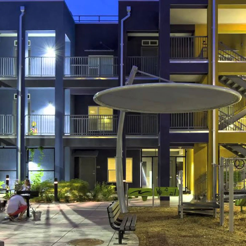
Residential
From rural three-acre farmette subdivisions to urban multifamily and mix use developments, RDC has the experience. We enjoy working with our clients when planning residential developments. We endeavor to maximize the number of units per acre while still meeting local zoning and stormwater requirements. Design of these projects often requires extensive coordination with architects and landscape planners. RDC will ensure utilities are extended to amenities such as dog parks and car charging stations. Particular attention is paid to drainage around pools, water features and courtyards.
RDC has experience presenting projects to planning commissions and government councils for rezoning applications and conditional use permits. We have prepared and presented the applications and worked with land use attorneys to prepare presentation and application materials
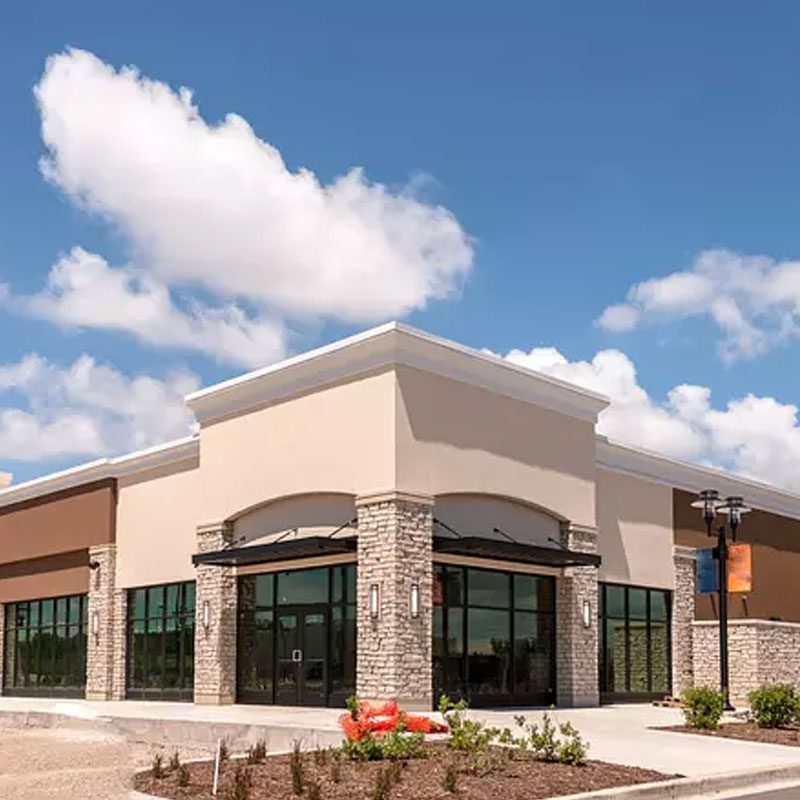
Commercial and Office
From outparcel development, standalone retail or office, to large box retail and office parks we have done it. Development of commercial and office projects focuses on the client’s needs and goals for their property. The process starts with a review of the underlying zoning and restrictions to ensure all municipal requirements can be or will be addressed. During the planning phase discussions take place with the Client about incorporating LEED or ENVISION design principles into the design along with various amenities. The end product is an approved set of construction drawings that address all the client’s needs, meets all their goals, and exceeds their expectations.
Rezoning and/or conditional use permits are typically required for large box retail and office park developments. RDC has experience presenting projects to planning commissions and government councils for rezoning applications and conditional use permits. We have prepared and presented the applications and worked with land use attorneys to prepare presentation and application materials.
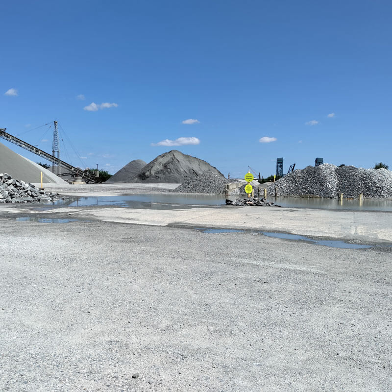
Industrial
Industrial site design is a specialty of RDC. We like the extra layers of coordination that are required with these projects. Typically, there is an enhanced stormwater or sewer component to these projects or the site needs to be designed to accommodate trains or barges. Often rezoning or conditional use permits are required. We are experienced with all these different facets and understand their implications to the project’s design schedule, budget, and operation. Our goal is to maximize the site’s potential, design in flexibility so our clients can adapt to changing market conditions and design the site with elements that allow it to blend in or be screened from surrounding properties.
Typically for industrial developments, rezoning and at a minimum a conditional use permit is required. RDC has experience presenting industrial projects in front of planning commissions and government councils for rezoning applications and conditional use permits. We have prepared and presented the applications on our own, or we have teamed with land use attorneys and helped with the preparation of the application materials.
Stormwater
With much of RDC’s experience along the East Coast, we are familiar with the challenges that come with addressing stormwater requirements. Many localities are imposing stricter criteria on stormwater quality and quantity. As such, matching post development flow rate to the pre development flow rate no longer meets the local criteria. Most developments today require some sort of stormwater management facility. RDC has designed facilities ranging from simple restrictor plates and grass swales to large wet ponds and constructed wetlands. These facilities can also be designed to address LEED and ENVISON requirements.
Stormwater demands of the site must be addressed during the concept design. Today’s stormwater BMPs require more space and analysis to design them properly. Often BMPs are undersized or not shown on concept plans. Waiting until the detailed design phase to size BMPs typically causes conflicts with site elements like buildings, parking lots, and landscape buffers. It is important that the site’s stormwater needs are address early in the planning process.
RDC’s stormwater experience is not limited to site design. We have prepared DOT culvert replacement plans, DOT and municipal stormwater roadway designs, and drainage investigations where a flooding problem was identified, solutions were proposed, and designs were created for the preferred solution. Our approach is to prepare a design that meets the requirements and conditions today, and if possible, to incorporate flexibility and capacity for tomorrow.
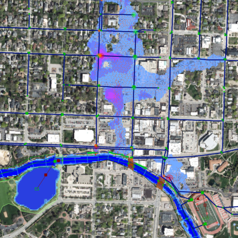
Stormwater Modeling
Stormwater modeling has come a long way since introduction of EPA-SWMM and early versions of ICPR and XP-SWMM. Today, models can be integrated with GIS, rain and tide gauge data, aerial images added to the background, and models overlaid onto 3D surfaces. Models can be developed for various storms, simulated events such as King Tides and hurricanes, or real time data can be used to show the depth, direction, and velocity of floodwaters along with various other values. Videos of the simulations can be made and used in presentations to clients, municipalities, and the public to demonstrate the extent of the flood and the impact proposed developments, good or bad, may have on the system.
RDC has used EPA-SWMM, XP-SWMM, PC-SWMM, ICPR, and various other modeling software to prepare stormwater models. Using XP and PC-SWMM 2D or overland flow, models have been created to analyze flooding events and the impacts of proposed improvements. RDC has prepared these types of models for nuisance flooding at golf course communities, used in conjunction with the design of a stormwater pump station, and for stormwater upgrades to an existing municipal system.